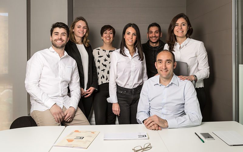
About us
Control i Actualització Territorial is composed of a fixed group of professionals and many collaborators that are part of the different projects of studies of the territory in fields as varied as cadastre, environmental impact assessments, property valuations, etc.
Among others, in CAT we find geographers, surveyors, architects, drafters and agricultural engineers. This structure based on the cooperative work and the orientation for service processes allows us to adopt a fast, agile and effective response to the different projects.

Miquel Cerdà Albertí
DIRECTOR
Agricultural Engineer

Margalida Canet Oliver
CO-DIRECTOR
Architect
Victor Vidal Gil
TECHNICIAN
Building Engineer

Dakota Márquez Perelló
TECHNICIAN
Agricultural Engineer

Catalina Riutort Costa
TECHNICIAN
Technician in urbanism and topography
Interior designer

Neus Marqués Bordoy
TECHNICIAN
Building Engineer
Services
– Architecture projects
– Legalitations
– Measurements
– Buiding certificate of seniority
– IEE, Certificate of occupancy
– Engineering projects
– Topography
– Activity licensing
– Energy certificates
– Cadastral records management
– Taxpayer’s support
– Economic valuations / Appraisal of rustic and urban estates
– Territory studies
– Enviromental impact studies
– SIG
– Geomarketing
– GML files
